Kaguya 3D GIS Released
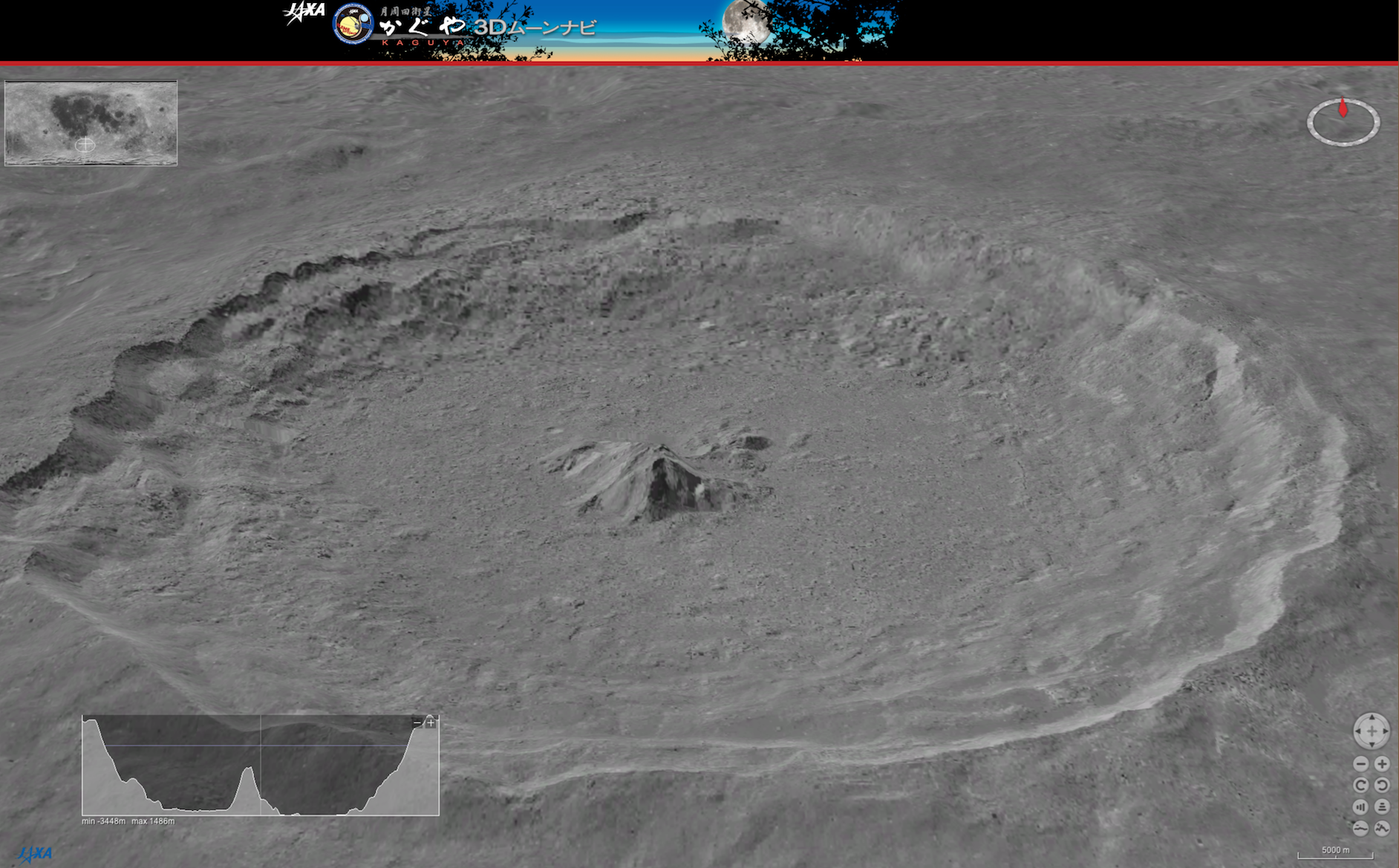
Kaguya 3D GIS is released from DARTS, with which various lunar data taken by Kaguya can be reconstructed interactively and displayed in 3D. For example, the picture in the right-hand side is a "bird-eye view" of the Tycho crater in the southern part of the lunar-face, together with a cross-section of the same geographic site. This application is developed using the World Wind SDK by NASA, and works on multi-platforms. We wish you enjoy the dynamic view of the moon at home, reconstructed from the real Kaguya data.